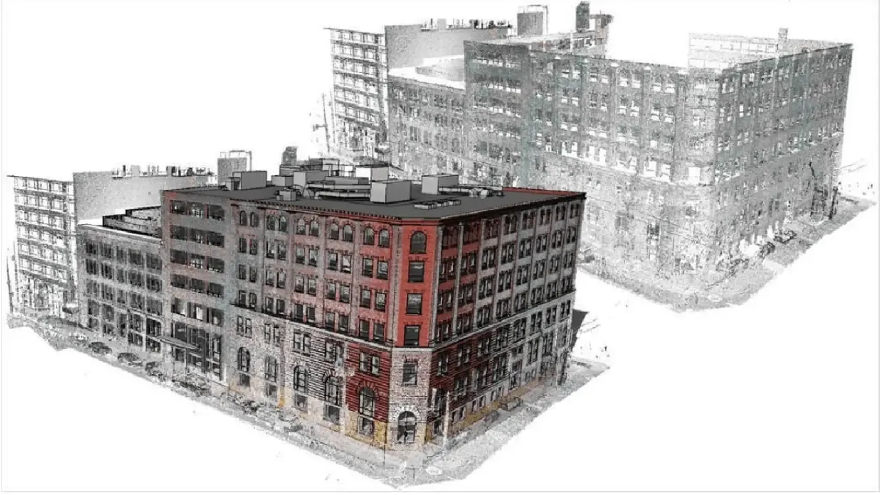
Professional 3D laser scanning for all types of buildings and terrain
The problem can take many forms:
- You manage historic buildings where the only documentation is hand-drawn plans from when the building was constructed.
- You are responsible for properties where the documentation is incomplete, never existed or has been lost over time.
- Your property has been modernised, extended or renovated and you need updated as-built drawings.
NO problem. WE solve IT!
First we capture the structure and details of the property using the latest 3D laser technology. We then convert the data into detailed drawings and documents. Finally, we compile comprehensive drawings and documents entirely to your wishes and needs. We have long experience in the industry and work with the Autodesk software suite.
To transfer an existing building from the real world to the digital world, where it can be processed in various engineering programs, follow these steps:
- Data collection and measurement. Take precise measurements of the building using laser scanning, photogrammetry or other measuring instruments. Use drones to take aerial photographs if the building is large or difficult to measure from the ground.
- Creating the 3D model. Import the collected data into software such as AutoCAD, Revit or SketchUp. Create a detailed 3D model of the building based on the measurements.
- Processing and adjustment. Check and adjust the 3D model to make sure it matches the actual dimensions. Add details such as materials, textures and other building elements.
- Integration and use. Export the 3D model to file formats supported by various engineering programs (e.g. .dwg, .ifc, .rvt). Integrate the model into programs for structural analysis, energy optimisation or other engineering applications. Digital photography and conversion of buildings into a virtual 360 world
High-precision check measurement
Arkigroup delivers easy-to-use drawings and documentation to architects, structural engineers and property owners, tailored to your specific needs.